More room for public life
Reducing through-traffic can create space for walking, play, seating and planting.
A city is not walkable because one square looks good. Follow a complete journey, including the inconvenient crossings, transfers and wet places to wait.
Nordic cities are often presented through a familiar set of images: Copenhagen bicycles, Stockholm rail stations, Oslo waterfront walks and Helsinki trams. Each captures something real. None describes every neighbourhood, household or season. A transport system should be judged by the range of journeys it supports, not by its most photogenic segment.
Public-space design belongs in the same discussion. A street can move people efficiently yet provide nowhere to pause. A park can be near on a map but difficult to reach across a major road. Useful urban comparison follows the actual route and records the conditions that make it easy or difficult.
A distinctive station can improve orientation and make waiting more pleasant. But frequency, reliability, fares and transfer design do much of the practical work. A comfortable platform cannot compensate for a missed connection that makes a shift worker late, or for a fare structure that penalises a household’s particular travel pattern.
Consider the Copenhagen Metro, Stockholm’s Tunnelbana, Oslo’s T-bane and Helsinki’s tram network as different systems with different geographies. Comparing their appearance alone misses the point. A meaningful question might examine the ease of travelling from a residential area to a hospital at an unusual hour, with current timetable and accessibility information checked directly.
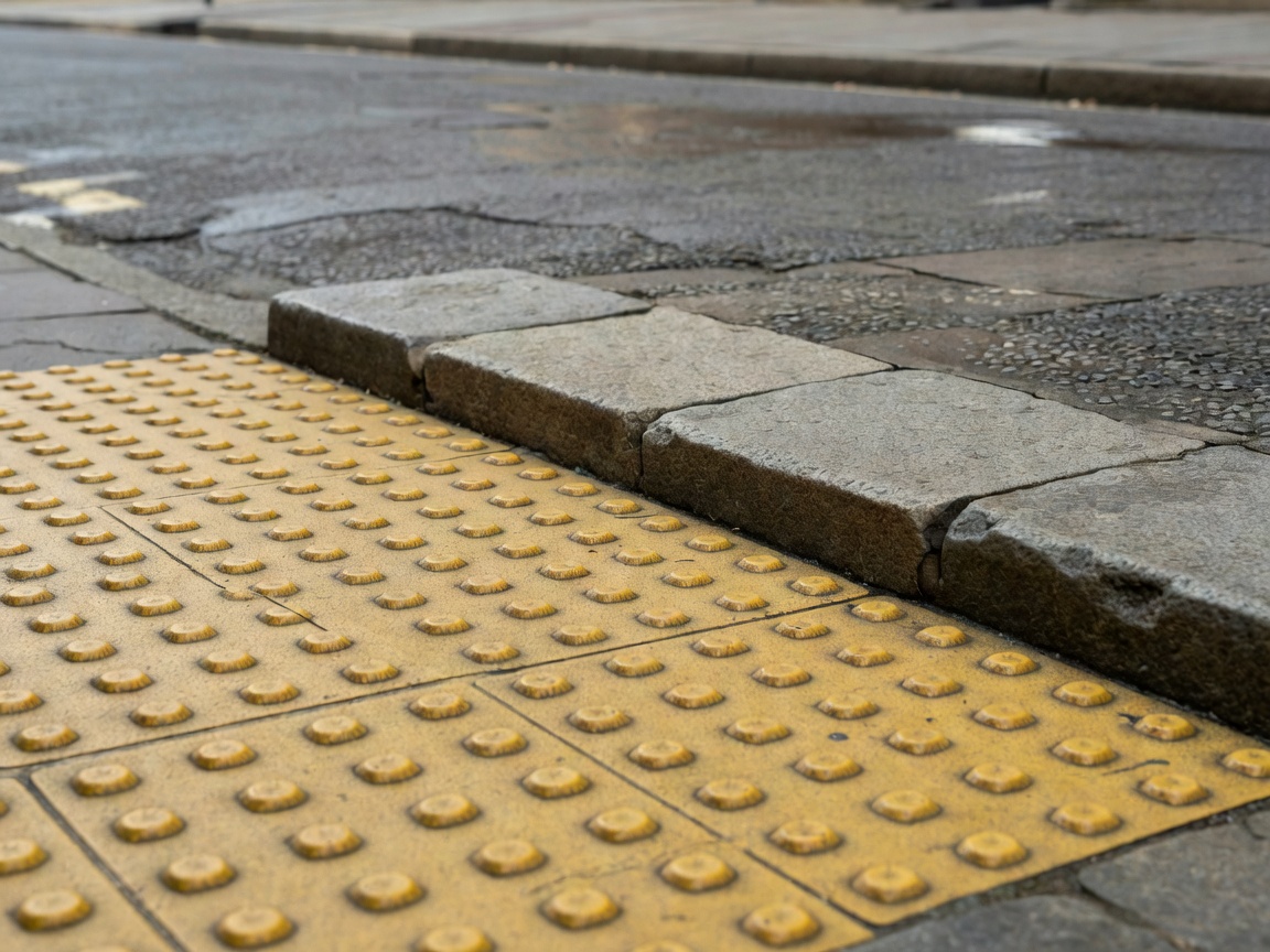
Disability access must be assessed across the chain. A lift at the destination does not solve an inaccessible origin station, a steep approach or an obstructed pavement. Temporary outages matter too. Visitors should consult operators for current conditions; this editorial guide is not a live journey planner.
Protected cycle tracks can make everyday cycling more attractive by reducing exposure to motor traffic. Their usefulness depends on continuity, junction design, maintenance and the ability to park securely at the destination. A short exemplary section surrounded by hostile crossings is not a complete network.
Space reallocation creates genuine trade-offs. Removing parking may enable a wider pavement or cycle route, while affecting deliveries, tradespeople and some disabled travellers. These concerns should be examined specifically rather than used either to dismiss change or to declare all objections illegitimate. Loading arrangements and accessible drop-off provision are design questions, not afterthoughts.
Urban green space can offer recreation, habitat, shade and a setting for social life. These functions overlap but are not identical. A closely mown lawn, a wetland edge and a wooded path support different activities and species. A single area figure cannot explain their quality or distribution.
Compare Superkilen in Copenhagen, a designed public-space project, with a larger landscape such as Stockholm’s Royal National City Park. They operate at different scales and should not compete in a simplistic ranking. Instead, ask which activities each accommodates, how adjoining neighbourhoods connect and whether quieter users can find a comfortable place.
Green infrastructure can also support stormwater management, but a planted depression is not proof of flood resilience. Catchment conditions, capacity, maintenance and overflow routes matter. As with building sustainability, the claim needs a defined scope. Attractive planting and demonstrated hydraulic performance are related possibilities, not interchangeable evidence.
Reducing through-traffic can create space for walking, play, seating and planting.
Traffic, noise or servicing pressures may shift elsewhere. Evaluate the area, not only the redesigned block.
Snow clearance, gritting, drainage and lighting determine how a route works outside an ideal summer afternoon. A bench that feels generous in dry weather may collect water. A smooth surface may become slippery. A pleasant planted edge may narrow an already constrained path when growth is not maintained.
Winter does not affect every Nordic city in the same way, and conditions vary within each city. Avoid turning regional reputation into a weather assumption. Look for a clear division of maintenance responsibilities and evidence of how routes are prioritised, especially around crossings, transit stops and essential services.
For an informal street audit, choose a real destination and record the journey time, barriers, seating opportunities and moments of uncertainty. Note the date, weather and your own mobility needs. Repeat the route when possible and compare observations with other users. This creates a better basis for discussion than presenting one person’s experience as universal.
The same questions of access, maintenance and comfort continue indoors.
Examine everyday interiorsAbout cookies We use necessary cookies to run the site and, with your consent, optional ones to measure visits. You can change this at any time. More about cookies